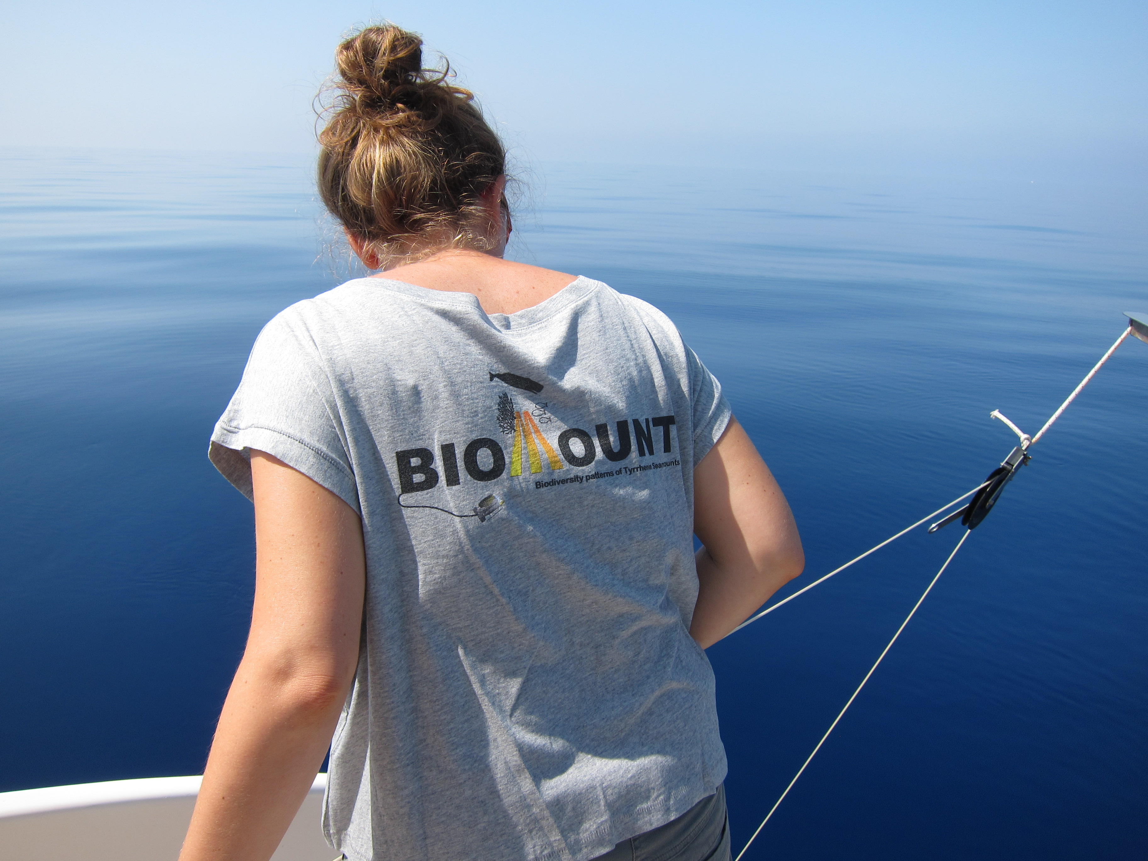
BIOMOUNT PROJECT
The project BioMount (Biodiversity patterns of seaMounts) is part of the SIR programme. The Scientific Independence of young Researchers (SIR) programme (2014-2018) has been established by the Italian Ministry of Instruction, University and Research (MIUR) and is intended to enhance the independence of young researchers within the public institutions.
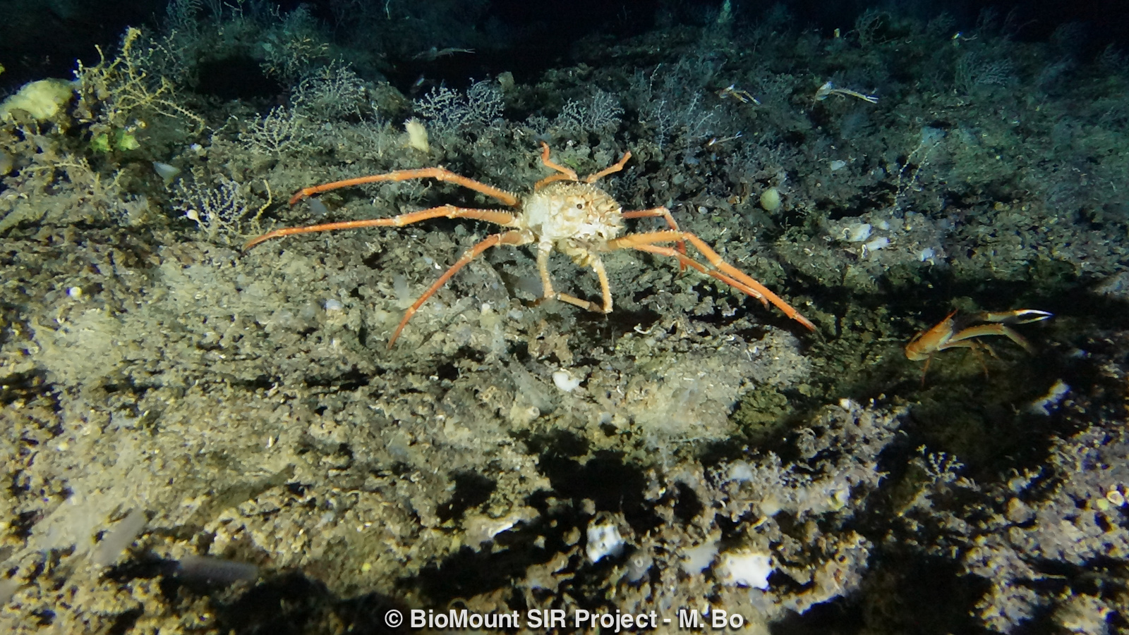
Seamounts are major topographic features found in all ocean basins and are defined as undersea mountains, mainly of volcanic origin, rising more than 100 m from the seafloor without breaking the sea surface. An abrupt topographic elevation, such as a seamount, over a flat deep bottom produces profound effects on the surrounding physical environment and, in turn, on the local dynamics of plankton, nekton and benthos triggering the establishment of lush assemblages mainly dominated by suspension feeders.
The Mediterranean Sea hosts about 1% of the total predicted large seamounts identified for the world's major basins. Recently a great effort was put into the production of a comprehensive Atlas of the Seamounts of this basin (Würtz & Rovere, 2015). This review highlighted that while these underwater mountains have been relatively well investigated from the paleo-geological point of view, very few surveys targeted the biological composition of the megabenthic and mesopelagic assemblages.
So far, some biological information have been gathered for the Amendolara Seamount in the Ionian Sea, the Palinuro Seamount in the South Tyrrhenian Sea, the summit of the Eratosthenes Seamount to the south of Cyprus, two shallow mounts in the Aegean Sea, four shallow seamounts along the Spanish coast, and three seamounts along the Sicilian coast reporting important cold water corals assemblages. Consistent characterizations on the megabenthic fauna were made, so far, only for, the so-called Stony Sponge Seamount in the Gulf of Valencia and the Vercelli Seamount in the North Tyrrhenian Sea.
The Ligurian and Tyrrhenian bathyal plains are spotted by an extraordinary large number of structures, 65 large and intermediate seamounts. While only two Tyrrhenian seamounts are considered shallow structures (Vercelli and Palinuro seamounts, showing peaks around 60-70 m depth where there is sufficient light for coralligenous communities to develop), all the other structures are considered deep mounts with peaks not exceeding 150 m depth.
This multidisciplinary research approaches the study of 9 seamounts with tops ranging between 150 and 1900m following 6 work-packages:
WP1. Background information collection for each study area.
WP2. Coordination and planning of the field activities.
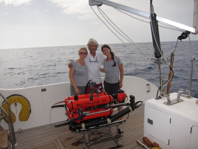
WP3. Fieldwork. The research was carried out on board of the vessel Daedalus of AzioneMare in summer 2017 and 2018. During each survey the following actions were carried out: i) acquisition of Side-Scan Sonar profiles of the mounts and CTD profiles of temperature and salinity, ii) high-resolution video transects by means of a Multipluto and PlutoPalla ROVs together with samples collection. Ecological experiments were carried out in 2016-2018 in three coastal Ligurian populations of Antipathella subpinnata, and included isotopic diet, microbial fauna (in collaboration with the Monaco Scientific Centre) as well as reproduction and growth rate observations (in collaboration with the Genoa Aquarium facilities and Centro Carabinieri Subacquei di Genova).
WP4. Laboratory activity. Activities included sorting and classification of the collected organisms and ROV-Imaging of all the video and photo material to assess benthic composition and occurrence of marine litter and fishing impact (2010/477/EU Decision, biological diversity, sea-floor integrity, properties and quantities of marine litter (descriptors 1, 6 and 10)). The genetic structuring of A. subpinnata’s coastal and seamount populations was assessed by Dr. Federica Costantini (Università di Bologna) with the amplification of mitochondrial and nuclear regions to identify sequence and length of polymorphisms (SNPs).
WP5. Validation and analysis of the results.
WP6. Definition of a logistic-scientific protocol for the study, valorisation and management of the areas.